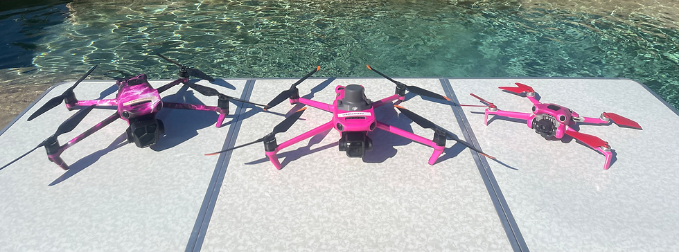
Unlock Precision and Efficiency with 3D Drone Mapping
Experience the next level of accuracy and efficiency with our 3D drone mapping services. Using cutting-edge drone technology, we deliver survey-grade, 3D models and detailed maps that provide precise data for a wide range of industries. Whether you're working in construction, real estate, or infrastructure, our drone mapping solutions give you the insights you need to make informed decisions, faster and more cost-effectively. Get started today and elevate your project with the power of aerial 3D mapping.

What is 3D Drone Mapping?
3D drone mapping combines high-resolution aerial imagery and advanced software to create survey-quality models of landscapes, buildings, and infrastructure. By capturing aerial images from multiple angles, we generate interactive 3D models and topographic maps that provide invaluable insights for planning, designing, and executing projects with precision. Our aerial mapping services help streamline workflows, reduce errors, and enhance project efficiency, all while offering cost-saving advantages over traditional methods.
How 3D Drone Mapping Works:
A Step-by-Step Process
1. Site Surveying: We fly high-tech drones over your site, capturing high-resolution images from various angles to cover every area.
2. Data Processing: Using advanced software, we convert aerial imagery into 3D models, topographic maps, or point clouds, all with survey-grade accuracy.
3. Analysis and Reporting: The data is analyzed to provide actionable insights—whether it’s elevation measurements, volumetric calculations, or site assessments—ensuring you have the data you need to move forward.
4. Final Deliverables: We deliver the 3D models and maps in formats that seamlessly integrate into your existing workflows, allowing for easy sharing and decision-making.
Benefits of 3D Drone Mapping
-
Survey-Grade Accuracy: Achieve centimeter-level precision for your projects with drone mapping, reducing errors and providing more reliable data.
-
Faster Data Collection: What traditionally took weeks now takes days—our drones speed up the process, delivering data in a fraction of the time.
-
Cost-Effective: Traditional surveying equipment and methods are expensive and time-consuming. Drones reduce costs significantly while delivering more accurate results.
-
Enhanced Visualization: Our 3D models and interactive maps provide a clear and visual representation of your project site, helping stakeholders make better-informed decisions.
-
Improved Safety: Drones can access difficult or hazardous areas without putting personnel at risk, improving overall project safety.
Industries That Benefit from 3D Drone Mapping
-
Construction: Whether you're tracking progress, monitoring site conditions, or planning new developments, 3D drone mapping provides precise data and enhances your planning and construction efforts.
-
Real Estate: Create detailed topographic maps and 3D models of properties to provide clients with virtual tours or make better land assessments for development.
-
Agriculture: Use drone mapping to monitor crop health, assess terrain, and gather precise data for smarter farming decisions.
-
Mining: Our survey-grade models help you measure stockpiles, calculate volumes, and assess mine sites with precision.
-
Environmental Studies: Conduct thorough site analyses, land-use assessments, and environmental impact studies with the accuracy and efficiency of drone mapping.
Why Choose Our 3D Drone Mapping Services?
-
Experienced Professionals: Our team has expertise in both aerial technology and data analysis, ensuring that your mapping project is completed with precision and professionalism.
-
State-of-the-Art Equipment: We use the latest drone technology and software, ensuring you get the most accurate and up-to-date 3D maps and models.
-
Customized Solutions: No two projects are alike. We offer tailored drone mapping solutions to meet the unique needs of your site, ensuring the most relevant data and insights for your specific goals.
Service Areas
While we proudly offer nationwide drone services, we specialize in major Texas cities, where our expertise in 3D drone mapping, surveying, and aerial inspections is in high demand. We serve:
-
Houston
-
San Antonio
-
Austin
-
Dallas
-
Fort Worth
-
El Paso
Whether you're in a bustling city or a remote area, we provide top-tier aerial mapping services that ensure accurate, actionable insights for your projects.
Ready to Transform Your Projects?
Let our 3D drone mapping services take your projects to new heights. Contact us today for a free consultation and see how our technology can enhance your planning, construction, and development processes.
