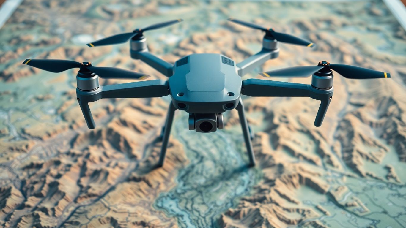
WELCOME TO 5 POINTS DRONES LLC
EXPERT DRONE MAPPING
& SURVEYING SERVICES
At 5-Points Drones LLC, we harness cutting-edge drone technology to deliver precise, high-quality data for commercial, industrial, and residential projects. As a Veteran-owned business, we prioritize safety, integrity, and doing things the right way, ensuring innovative solutions and exceptional results in aerial mapping, inspections, and photography.
_JPG.jpg)
ABOUT US
VETERAN OWNED & OPERATED
5-Points Drones LLC was founded by James Goines, a former Army paratrooper who instills integrity, safety, and innovation into every project. With his military background, James ensures the company upholds high standards and delivers quality drone services done the right way.
As a Veteran-owned business, we are committed to providing accurate, efficient, and reliable drone mapping, surveying, and inspection services. Our team follows James' example of dedication and integrity, always prioritizing client satisfaction and exceptional results.
OUR WORK
OUR PROJECTS


OUR SERVICES
DRONE SERVICES DONE SMARTER


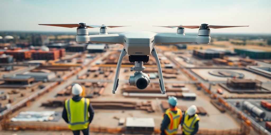
WHY CHOOSE DRONES?
A CHEAPER & FASTER ALTERNATIVE
Choosing drones for your project offers a safer, more efficient alternative to traditional methods. Drones eliminate the need for personnel to work in hazardous environments, reducing risks and ensuring safer operations.
With their ability to capture precise, survey-grade data from hard-to-reach locations, drones provide faster, more cost-effective results without compromising on quality. Whether for mapping, inspections, or surveillance, drones save time, money, and help avoid unnecessary risks, making them the smart choice for modern projects.